
Where Beatty Is Located
Beatty sits in southwest Nye County, close to the California border and just east of Death Valley National Park. U.S. Route 95 runs through town, connecting Beatty with Tonopah to the north and Las Vegas to the southeast. State Route 374 heads west from town toward Death Valley, making Beatty one of the most convenient Nevada communities for travelers entering the park from this side of the state.
Gateway Location
Beatty is about 90 miles south of Tonopah, about 120 miles northwest of Las Vegas, and roughly 8 miles east of Death Valley National Park by way of State Route 374.
Quick Local Profile
89003
ZIP Code
3,320 ft.
Elevation
175.6 mi²
Area
36.9086° N
Latitude
116.7592° W
Longitude
Pacific
Time Zone
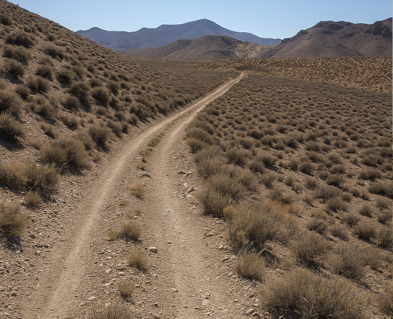
Desert Setting and Landscape
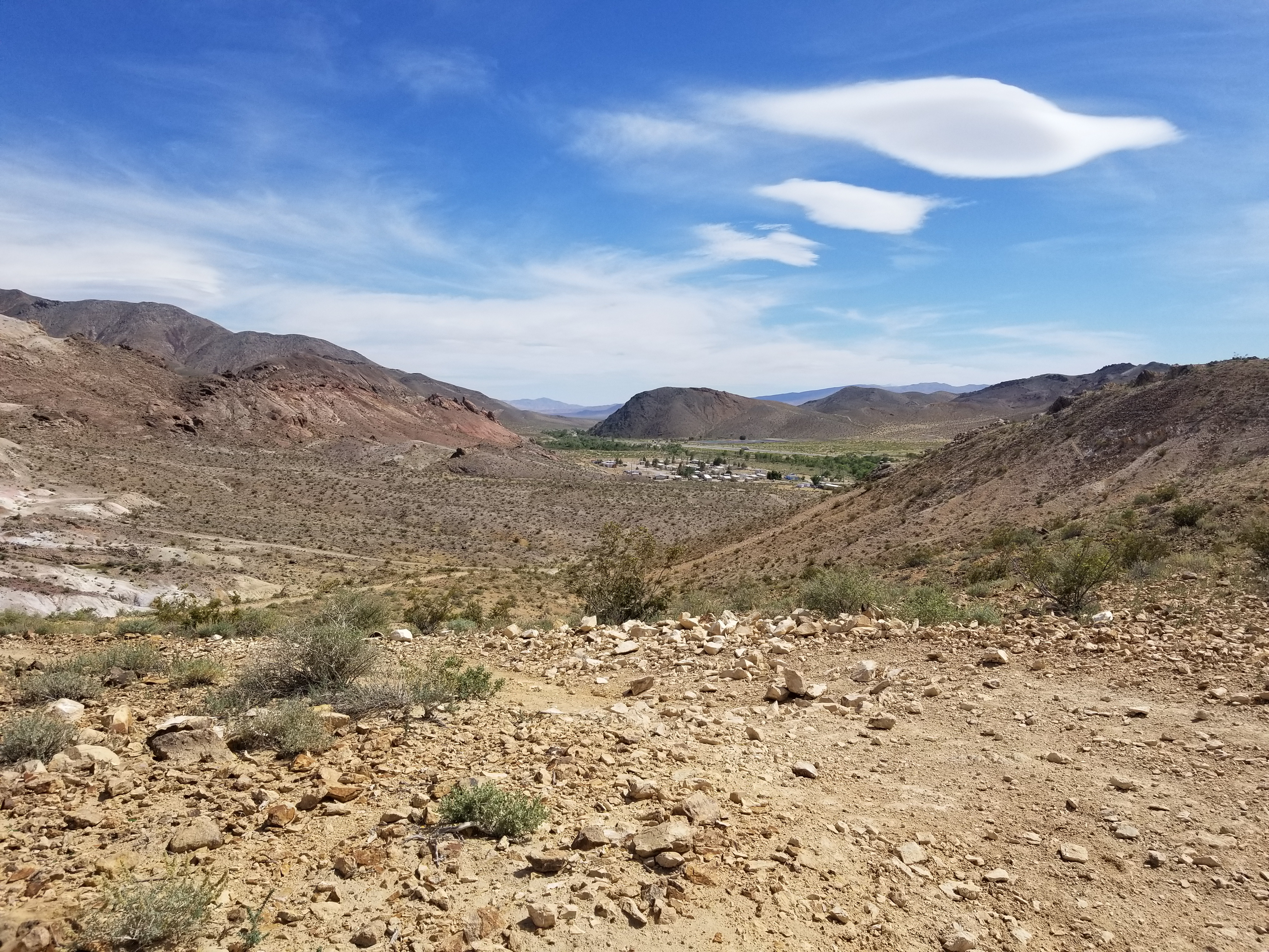
Beatty is surrounded by the open desert country that makes this part of Nevada so memorable. The community sits near the Amargosa River corridor, with mountain ranges, desert valleys, volcanic terrain, historic mining areas, and wide-open views all nearby. It is the kind of place where geography is not just something on a map. It shapes the roads, the weather, the views, the wildlife, and the way people travel through the area.
To the west, travelers can head toward Death Valley National Park, Rhyolite Ghost Town, the Bullfrog Hills, and the dramatic desert landscapes that have made the region famous. Around Beatty, visitors also find access to backroads, public lands, trails, open spaces, and scenic routes that show off the rugged character of the Mojave Desert.
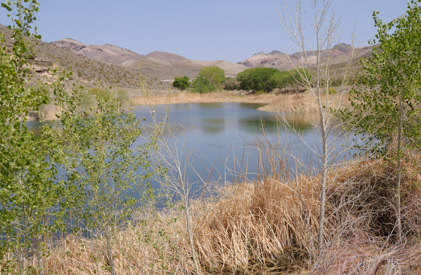
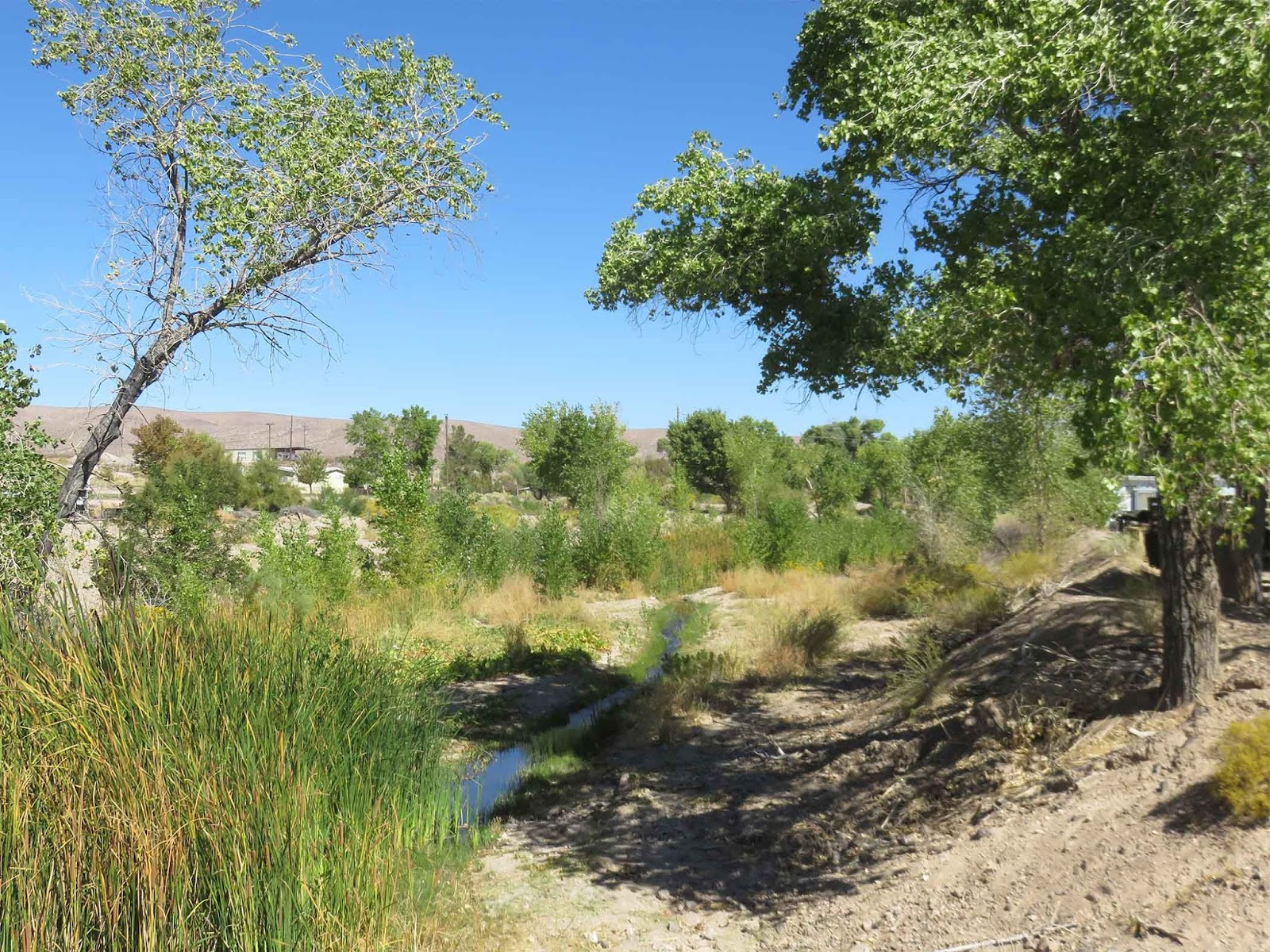
Amargosa River
Beatty is located along the Amargosa River, an important desert waterway connected to the broader Amargosa region and the landscapes leading toward Death Valley.
Desert Conditions
Beatty’s surrounding desert landscape brings open views, dry washes, rugged hills, and wide stretches of public land where conditions can change quickly depending on season, elevation, and wind.
Travel Crossroads
U.S. Route 95 and State Route 374 meet in Beatty, making the town an easy stopping point for travelers heading north, south, east, or west.
Gateway to Death Valley
Beatty’s location gives visitors convenient access to Death Valley National Park while still offering services, lodging, dining, fuel, and small-town hospitality.
Stay in Beatty. Explore Everywhere!
Beatty’s location makes it a smart starting point for ghost towns, desert landscapes, scenic drives, outdoor recreation, and nearby adventures.